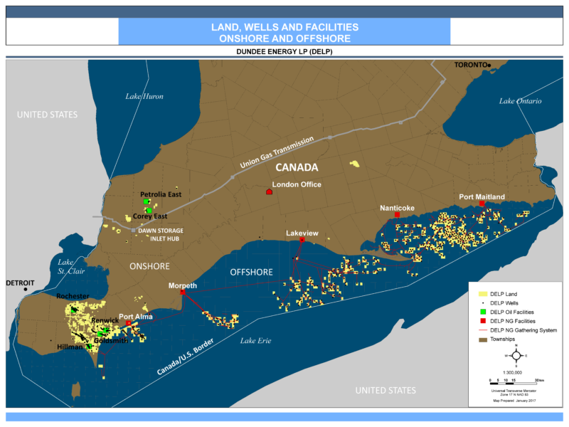
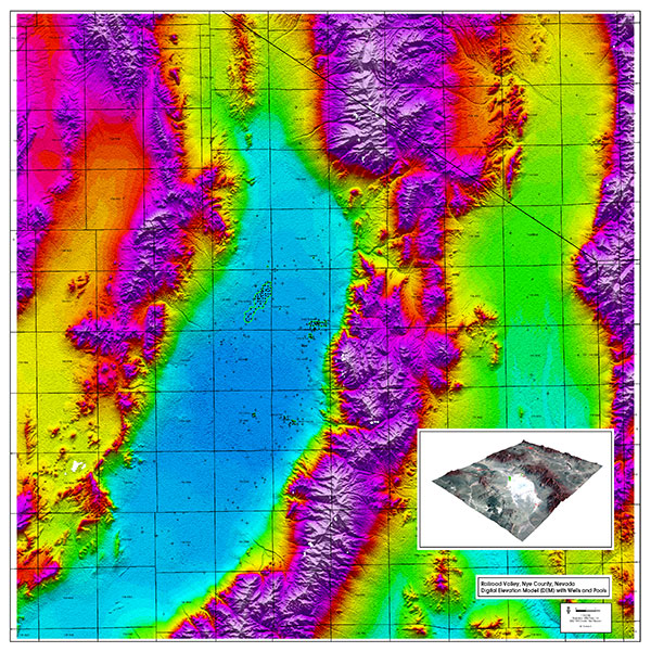
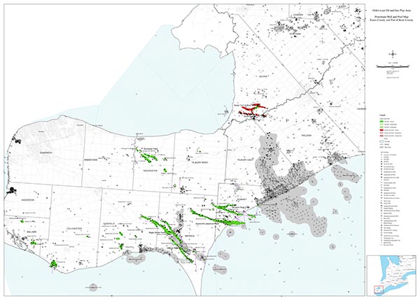
I use geological and Petroleum GIS software and tools developed specifically to work with the Ontario Subsurface Geology and Petroleum Well Data to construct maps, cross-sections and geological interpretations.
Layers available for mapping include: Ontario Digital Base Data; Ontario well and geology data; georeferenced government and historical geologic maps; air-photo imagery; topography and topographic maps.
Map services include: well, geologic, exploration, topographic, land, air-photo, seismic shot point, seismic line/acquisition design, satellite, gravity and magnetics, geochemistry.
Other services:
- GIS database management
- Map digitizing
- Map scanning and archiving
- Map and raster reprojection
- GPS data mapping
- Processing DXF, DWG, SHP files
- NAD27-NAD83 conversions
A geographic information system (GIS) is a digital information database that captures, stores, analyzes, manages, and presents data that is linked to location. GIS applications allow users to create interactive queries (user created searches), analyze spatial information, edit data and maps, and present the results of all these operations as digital maps.
GIS and Digital Mapping facilitates the analysis and integration of a lot of different types of data such as well locations, surface geology studies, subsurface and cross section interpretations, images, seismic surveys, digital aerial photo mosaics, gravity and magnetics data, satellite imagery, and existing infrastructure information.


